


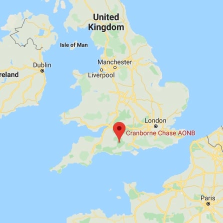
The Cranborne Chase National Landscape is a chalk plateau in central southern England, straddling the counties Dorset, Hampshire, and Wiltshire. The plateau is part of the English Chalk Formation and is adjacent to Salisbury Plain and the West Wiltshire Downs in the north, and the Dorset Downs to the south west. The scarp slope of the hills faces the Blackmore Vale to the west, and to some extent the Vale of Wardour to the north. The chalk gently slopes south and dips under clays and gravels. An area of 379 square miles (981 square kilometres) of Cranborne Chase and the West Wiltshire Downs has been designated a National Landscape, the sixth largest National Landscape in the country. The highest point is Win Green, in Wiltshire, at 910 ft (277 m).
2019
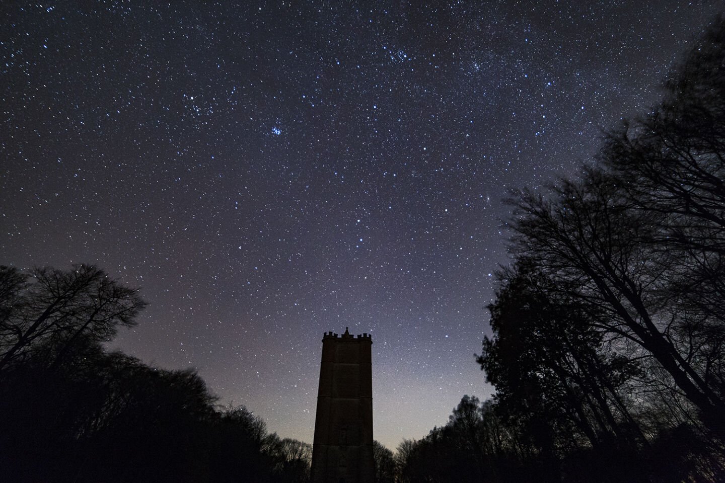
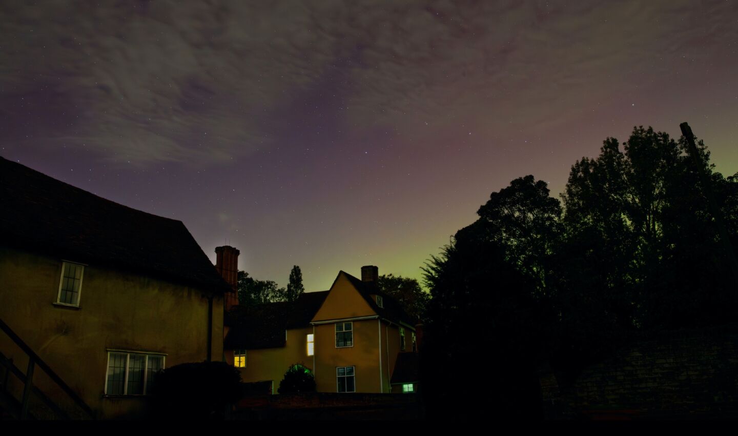
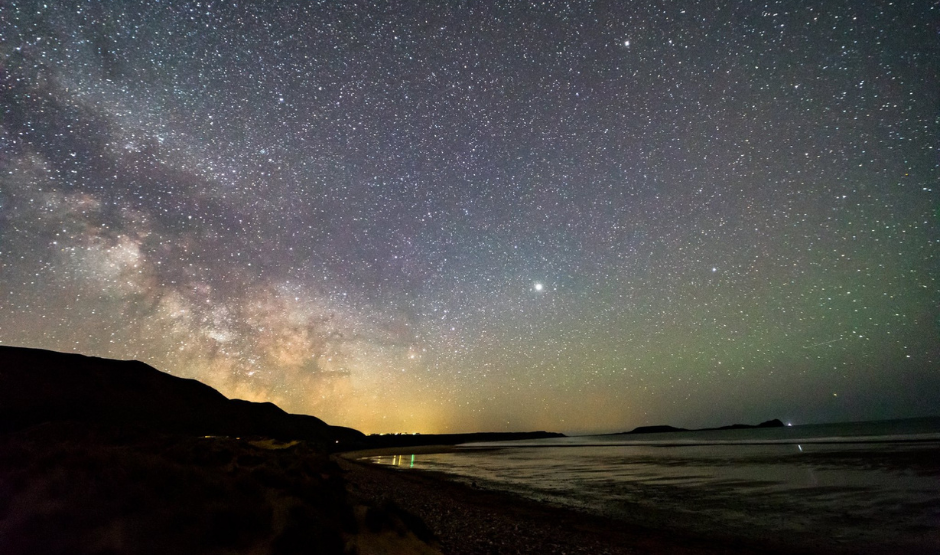
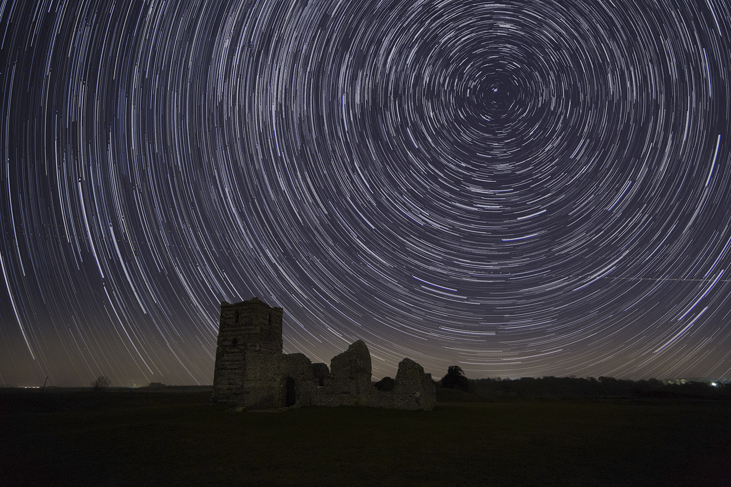
International Dark Sky Reserve (Provisional)
Cranborne Chase National Landscape Office
Rushmore Farm, Tinkley Bottom,
Tollard Royal, Wiltshire, SP5 5QA
England
Google Map
Steve Tonkin
Website
Tel.: 01725 517417
983 km2