Boundary Waters Canoe Area Wilderness
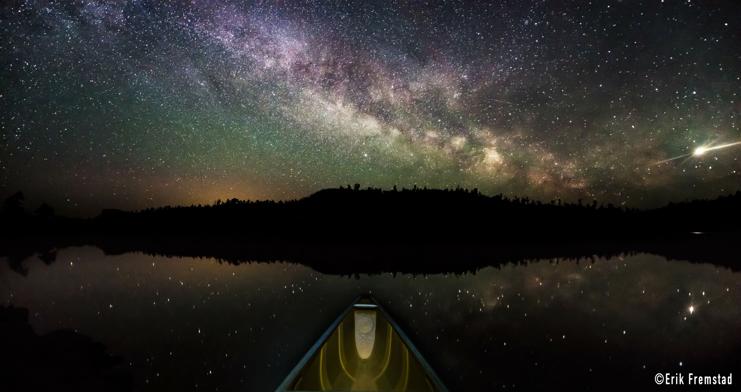
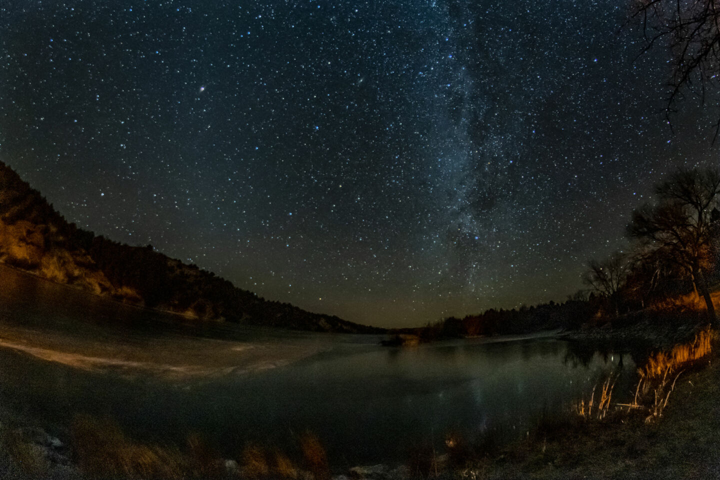
Boundary Waters Canoe Area Wilderness is a federally designated wilderness management area located in the northern third of the Superior National Forest in northeastern Minnesota.
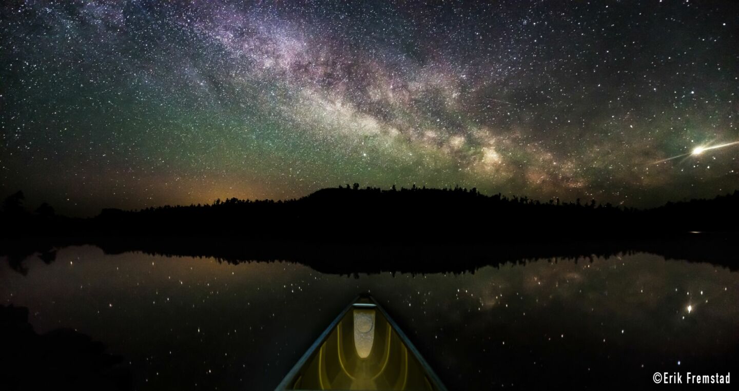
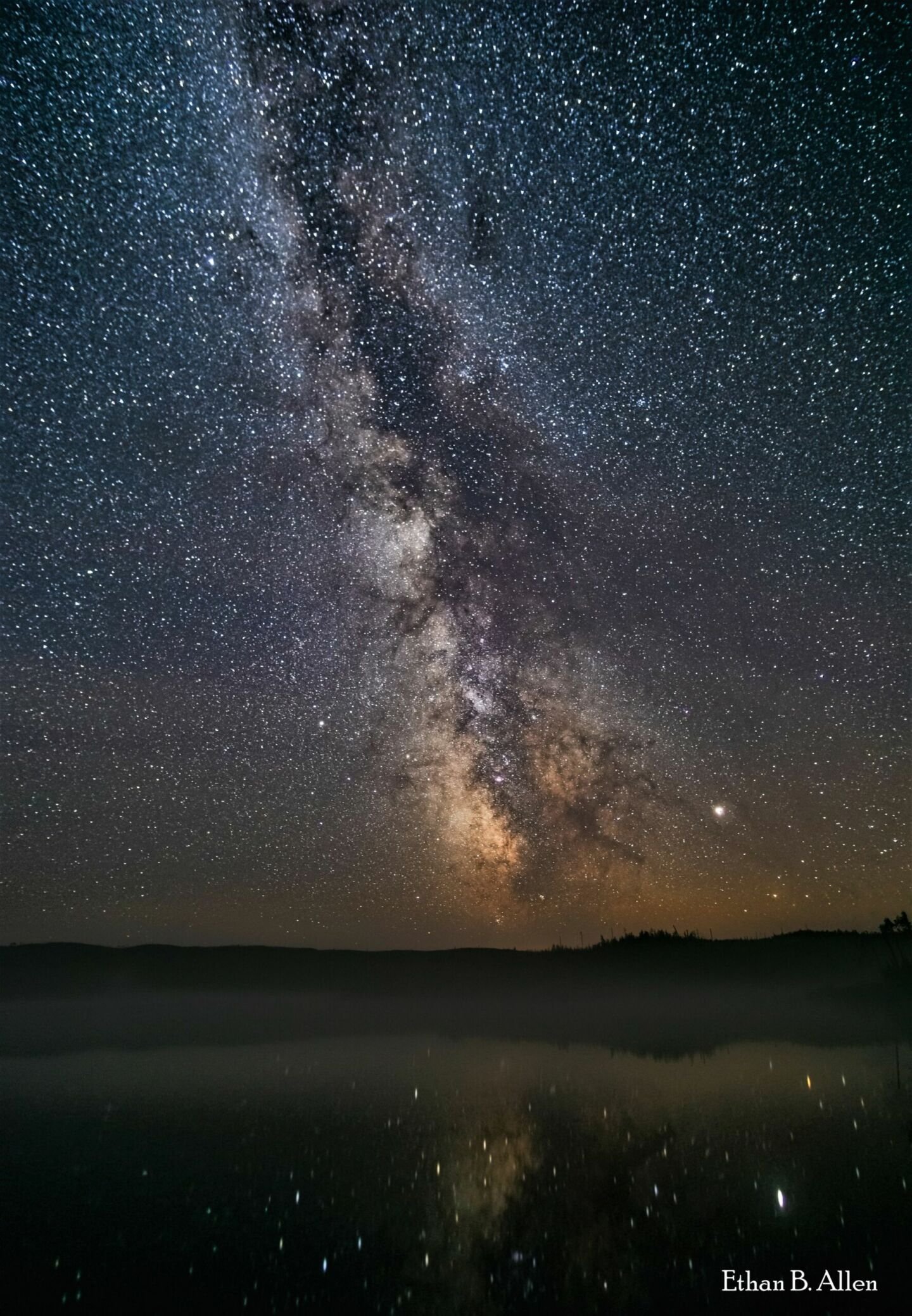
It is over 1 million acres in size and filled with rocky cliffs and crags, canyons, towering rock formations, and thousands of lakes and streams with rocky shores and sandy beaches surrounded by forests. Within its boundaries are 2,000 designated campsites, 1,200 miles of canoe routes, 12 hiking trails, and a spectacular view of the night sky. Visitor travel is managed by a visitor distribution system via mandatory entry quota and entry points.
This area was set aside in 1926 to preserve its primitive character and made a part of the National Wilderness Preservation System in 1964 with subsequent legislation in 1978.
Wilderness offers freedom to those who wish to pursue an experience of expansive solitude, challenge, and personal connection with nature. The BWCAW allows visitors to canoe, portage, and camp in the spirit of those travelers that came before them centuries ago.
Designated
2020
Category
International Dark Sky Sanctuary
Address
Superior National Forest
8901 Grand Ave Place
Duluth, MN 55808 USA
Google Maps
Contact
Ann Schwaller
Tel.: +1 218 626 4325
Website
Land area
4,400 km2
Documents
Application
News Release
Annual Reports
More info
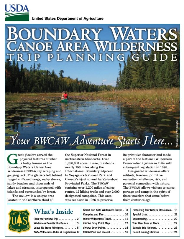
Boundary Waters Canoe Area Wilderness Trip Planning Guide (PDF)
A guide from the U.S. Forest Service.


